Formartine & Buchan Gravel Loop
The Formartine and Buchan Way is a long distance path that follows the route of the Aberdeen to Peterhead & Fraserburgh railway line, which was closed in the 1970s. The path starts at Dyce, on the north edge of Aberdeen and continues to Maud, when the line splits, with branches to Peterhead and Fraserburgh. The path is managed by Aberdeenshire Council.
I recently cycled a 75 km loop, taking in the Maud – Peterhead and Fraserburgh – Maud sections, with a road link in between.
Time: 28/09/2025, 10:34 |
Duration: 04:39:44 |
Ascent/Descent:  421 m 421 m  429 m 429 m | Distance: 76.19 km |
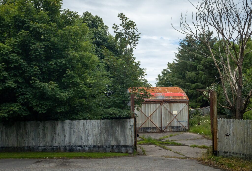
I parked at Maud, where there's a large car park beside the old station.
Maud
Maud Junction Station was large station that handled the shipment of cattle from Aberdeenshire to all over the UK. Fish traffic from Fraserburgh and Peterhead also passed through the station. Many of the station buildings are still standing.
One of these buildings houses Maud Railway Museum which has collections of artefacts and relics from the railway and information about its operation. There's also a small model railway in one the buildings. The museum is run by volunteers and is open a couple of weekends a month in the summer.
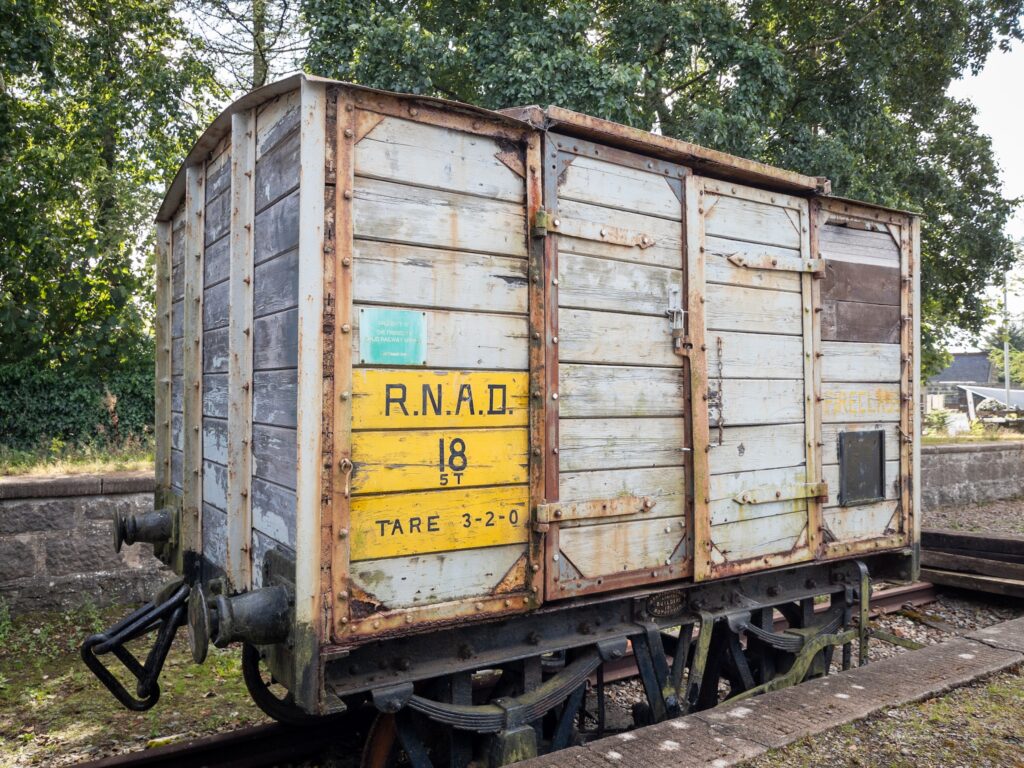
Next to one of the platforms stands a wagon that was originally used to transport convicts from Peterhead prison to the quarry where the rocks for the Peterhead harbour breakwater were quarried and broken. There is also a smaller gunpowder wagon, which, at the time of writing, is off-site being restored.
Maud - Peterhead
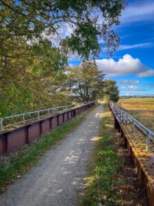
The path leaves Maud and heads across the open countryside to Mintlaw, passing Deer Abbey on the way. The abbey, believed to be the original home to the Book of Deer, had its own railway station, although no trace of it now remains. The Book of Deer is one of the UK's oldest books, dating back to the 10th Century.
Passing through Old Deer, the route crosses the main A950 road, although there's also a path to pass into Aden Country Park, which has a very nice cafe.
After crossing the main road, the route passes through Mintlaw, exiting beside Simpson's Garden Centre, which also has a nice cafe. For here, the line heads for Longside.
In the middle of Longside, the route of the line gets a bit confusing. I ended up going down some steps and through a tunnel and back up on the the old line, but, looking at the map, it appears there may be a better way along Station Road, which will take you out opposite the continuation of the line.
Just before reaching Inverugie, the route passes close the Longside Airfield, once the site of RAF Peterhead.
Peterhead to Fraserburgh
Originally, I'd wanted to got into Peterhead and track up the coast to Fraserburgh, but there doesn't appear to be a way to do that, short of cycling up the beach, and being at the mercy of the tides. For that reason, I 'd intended to leave the path at Inverugie and head towards Fraserburgh on the road.
I managed to miss the actual turn-off and had to retrace my path from the outskirts of Peterhead. Going up through Inverurgie, past some very nice houses, I turned in land, heading west, then north to Crimond. Heading towards Crimond provided a fantastic view over Loch of Strathbeg and of the Defence High Frequency Communications Service Radio Towers at the former RNAS Rattray. The roads on this section were fairly quiet with very little traffic.
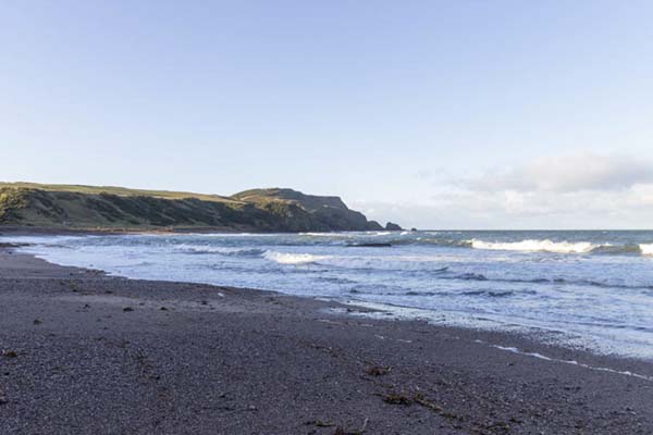
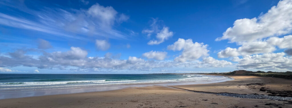
From Crimond, I headed towards St. Combs, a small fishing village on the coast. I turned off before the village and headed towards Fraserburgh. Although this was a minor road, it was certainly the busiest of the entire route, mainly boy-racers and golfers heading to Fraserburgh Golf Course. Just after the golf course club house, I joined the last section of the Maud-Fraserbugh line, where it passes through the edge of the dunes and play-park and headed into Fraserburgh beach front.
There's a couple cafes at the promenade and a lovely view over the bay, towards Cairnbulg.
Fraserburgh to Maud
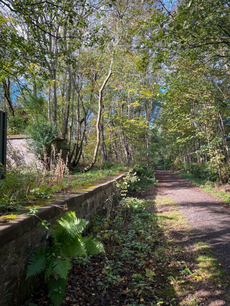
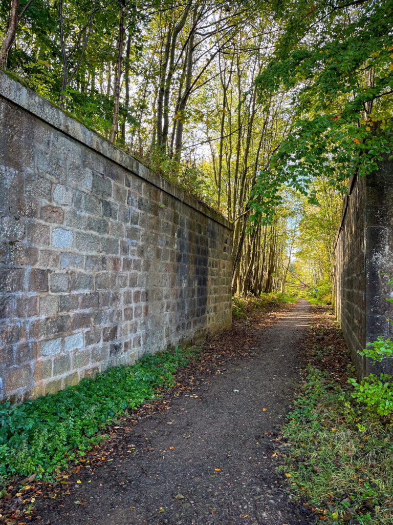
After a short rest, I retraced my route back out of Fraserburgh, past the golf course, heading for Maud. For the first 10-or-so km, the route climbs noticeably. The path is also narrower than the Peterhead branch, with more overgrowth at the edges.
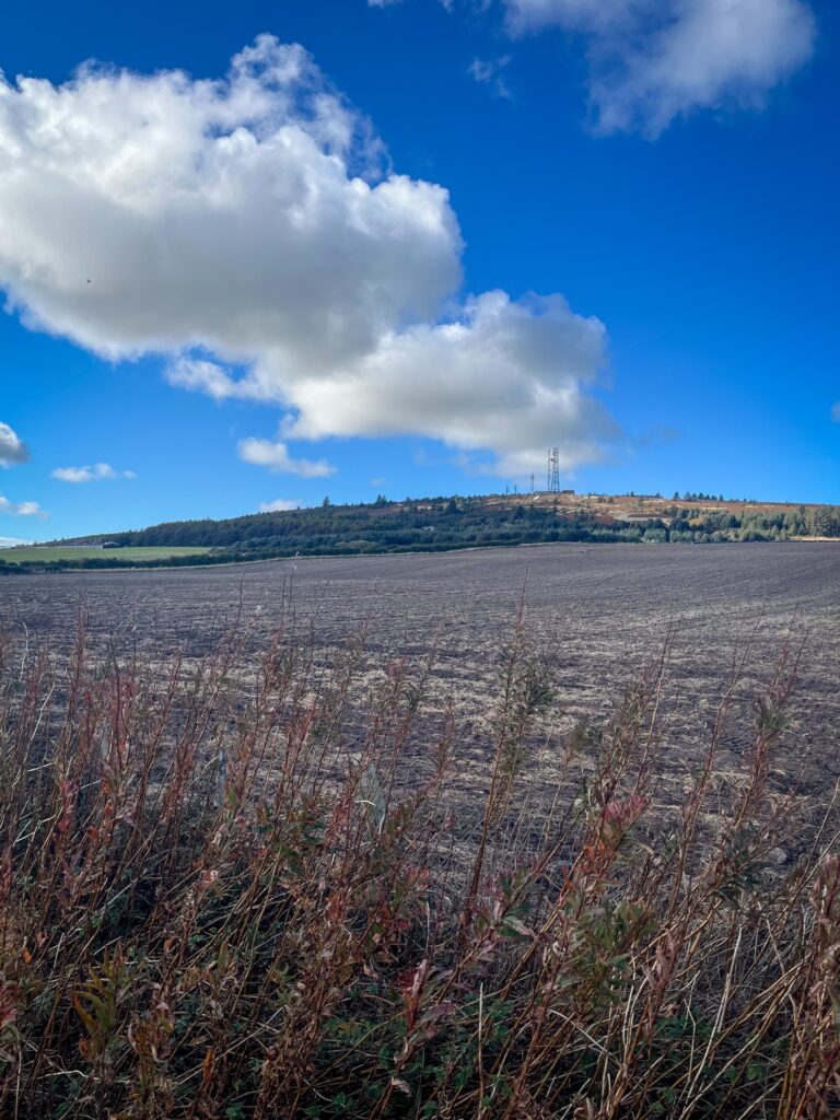
A few km before Strichen, the line passes Mormond Hill, one-time site of the US Early Warning System, and now home to a number of radio towers providing mobile phone comms and tropospheric scatter comms links to North Sea oil platforms.
Mormond Hill is also home to the only two hill figures in Scotland, a horse and a stag. The horse is formed from white quartz stones. There's a few stories about its origin, including that's it a memorial to Sergeant James Hutcheon of New Pitsligo who gave his horse to Captain Fraser (Lord Lovat of Strichen) in the battle of Gilze in Holland on August 26, 1794. It's also reputed to have been created to mark the visit of Dr Johnson and James Boswell to the area in 1773. The deer, known as the Cortes Stag, was created in 1870. It was a built by local tenants to commemorate the wedding of the local laird. It has recently been restored.
Navigating through the middle of Strichen was also a little tricky. After the route ended in the middle of the village, I walked a short distance along Brewery Road and climbed some steps to rejoin the railway line. However, looking at the map, it looks like I could have followed the road along to Strichen Lodge Café and rejoined the line from there.
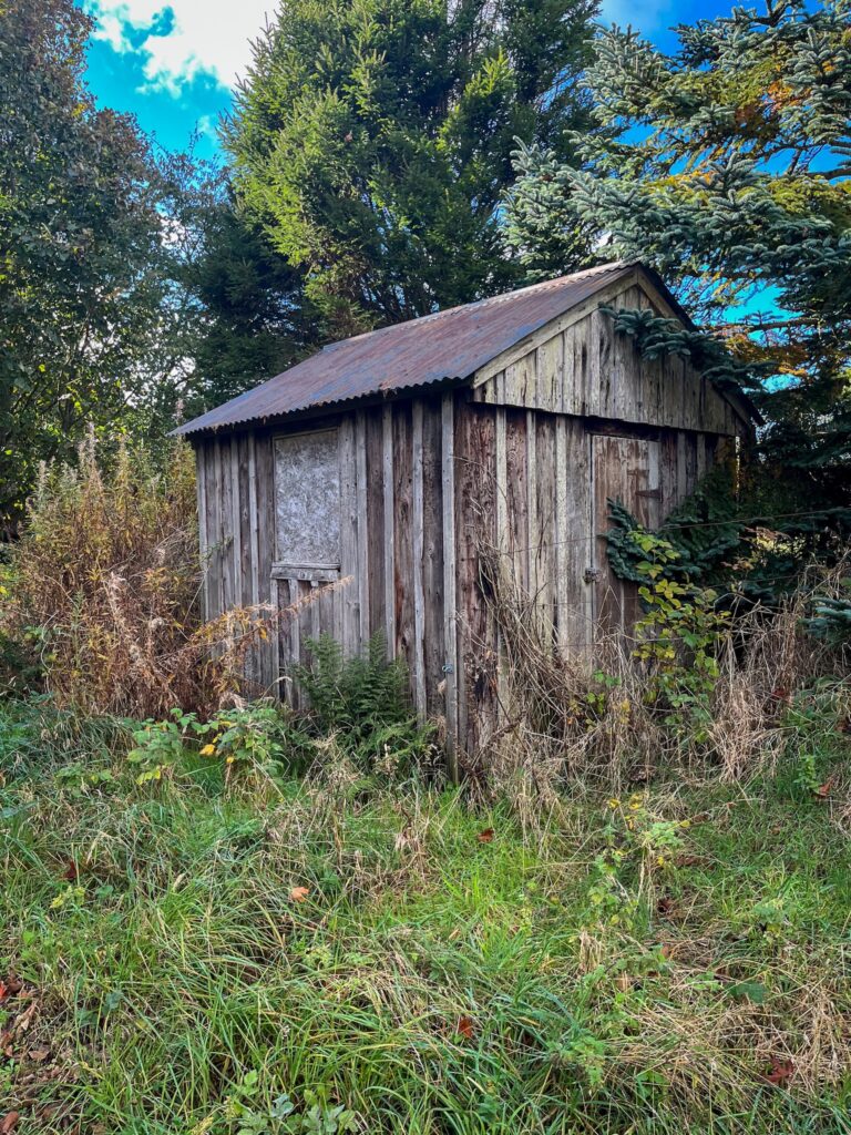
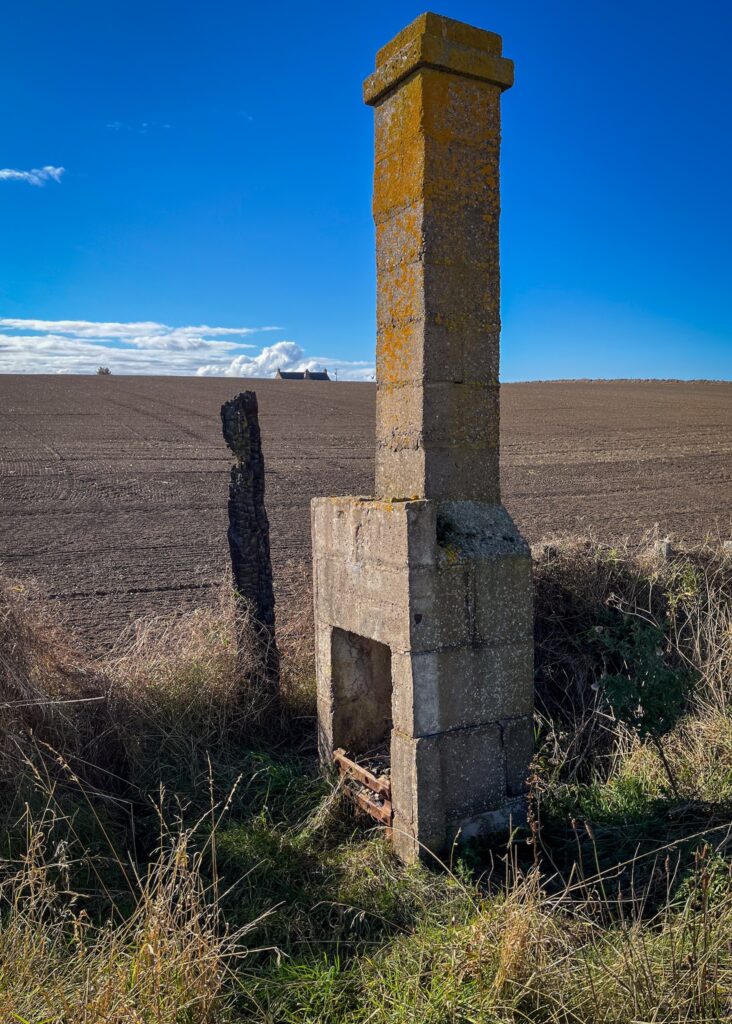
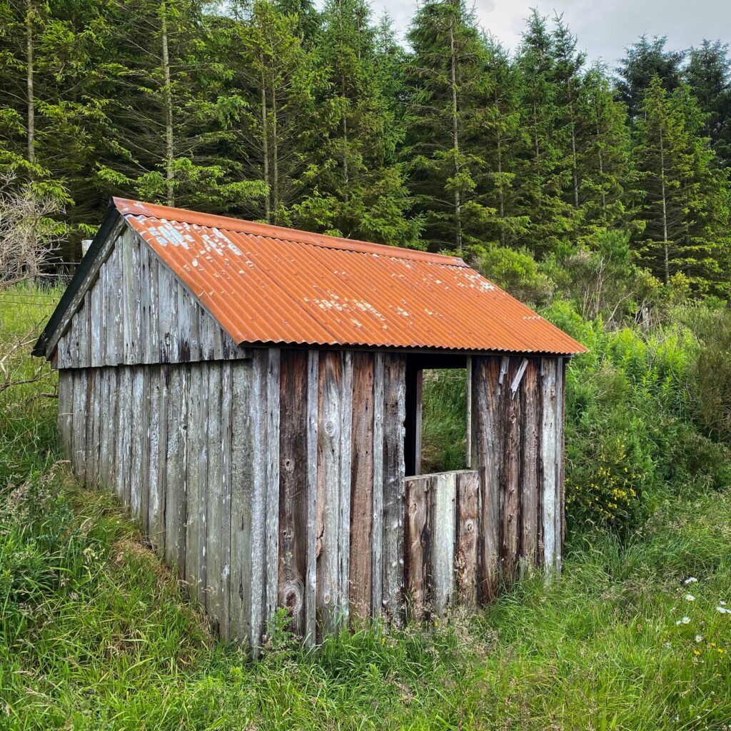
Once through Strichen, the line descends back towards Maud. Here, the line runs through mostly open country side. Here there's also the odd line-side hut still standing, along with the solitary fireplace and chimney of one that appears to have been burned down. The final part of the route back to the station has a couple of small bumps where parts of the line have been filed in for access to farm land, and then crosses two roads to return to Maud.
Back in Maud, there's a couple of shops and Platform 5 Cafe for post-ride refreshments.

All-in-all, this is a fairly flat route, with about 420m of climbing over the 75 km distance. As the route is fairly exposed, wind off the sea may be challenge.